Upper Iowa University GIS
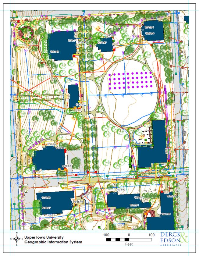
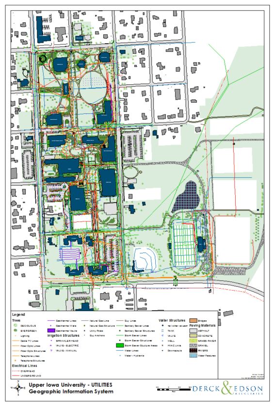
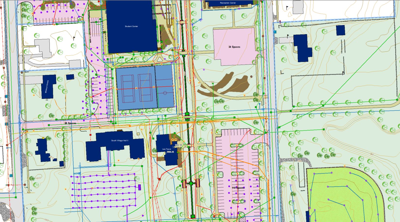
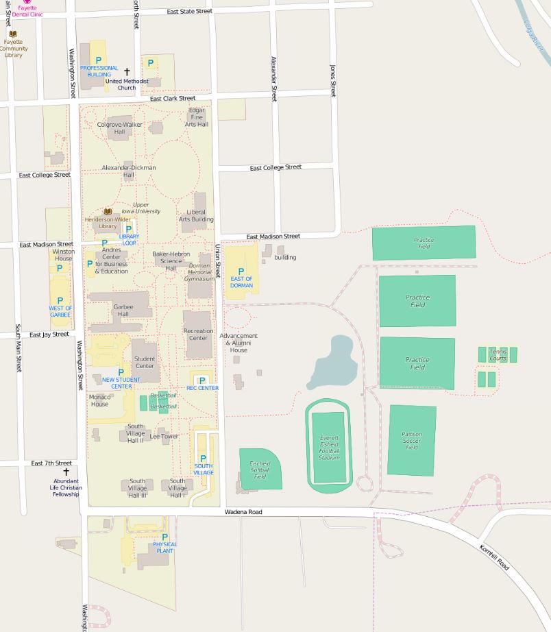
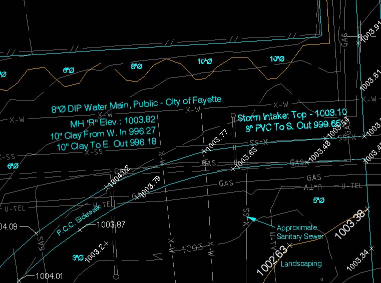
A streamlined operating procedure for the facilities department at Upper Iowa University was developed through the use of geographic information systems. The UIU GIS was built by combining regional map data and local tax parcels with AutoCAD files and scanned paper floor plans. By leveraging the Feature Manipulation Engine (FME) developed by SAFE software, existing survey and design CAD files were converted into over 50 different feature classes (layers). Campus utility locations, maintenance dates, property values, and floor plans are now just a click away. This project was structured so that the data can be further developed and maintained by trained University staff. A series of map templates was developed for campus GIS users to promote accelerated adoption provide a consistent appearance for printed output.

